
Quick answer: An ecology GIS specialist combines satellite imagery, GPS, and field data to map habitats and model where species thrive, guiding conservation decisions for agencies, nonprofits, and consultancies. You typically need a bachelor’s in ecology or geography plus GIS skills (ArcGIS or QGIS, Python or R, remote sensing). Entry pay runs about $45,000 to $55,000, rising to $80,000+ for senior roles. A strong portfolio with reproducible code on GitHub matters more than any single certification.
You’ll combine satellite imagery, GPS data, and field surveys to map habitats and predict where species thrive, work that shapes conservation decisions across government agencies, nonprofits, and consulting firms. Your days blend running habitat models in ArcGIS or QGIS, automating tasks with Python or R, and sometimes collecting ground-truth data with drones and mobile apps. Entry pay starts around $45,000 $55,000, climbing higher in regions like California or Colorado, with nonprofits and academia typically offering less.
Most employers expect a bachelor’s degree in ecology or geography plus GIS coursework, though strong portfolios with reproducible code, hosted on GitHub, can open doors without advanced degrees.
Building six to ten polished projects, networking through informational interviews, and adding certifications like Esri credentials or Google Earth Engine training will move you from analyst toward conservation leadership: there’s a path worth walking, and the next steps await just ahead.
Key Takeaways
- GIS specialists in ecology integrate satellite, GPS, and field data to map habitats and model species distribution.
- Daily tasks include running suitability models, automating workflows with Python/R, and producing maps for stakeholders.
- Entry-level salaries range $45,000 $55,000, with higher pay in California, Texas, Colorado, and private-sector roles.
- Career advancement requires a polished portfolio, reproducible code on GitHub, and often a master’s degree for specialized positions.
- Core technical skills include ArcGIS/QGIS, remote sensing, Google Earth Engine, and programming for spatial analysis and automation.
What Do Ecology GIS Specialists Actually Do?
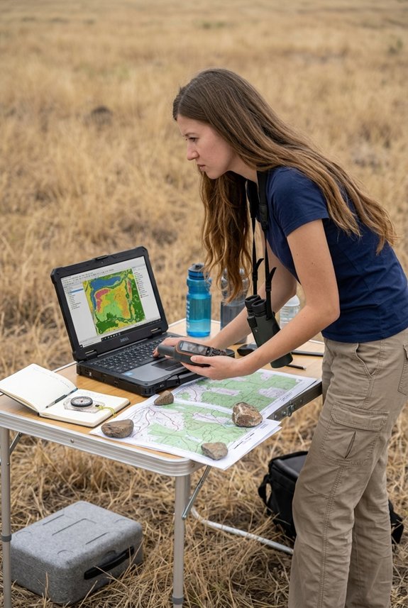
Picture yourself standing at the intersection of wild landscapes and digital maps, where satellite images reveal what the eye can’t see from the ground.
You’ll collect and integrate spatial data, satellites, GPS, drone imagery, field surveys, to build geodatabases for habitat mapping, ensuring data ethics guide every decision about privacy and proper use.
You’ll perform analyses: habitat suitability modeling, corridor mapping, species distribution studies, using ArcGIS, QGIS, R, and Python to uncover ecological patterns.
You’ll process large datasets, document metadata vigilantly, and maintain integrity for reproducible science.
Your maps and interactive visualizations become bridges for stakeholder engagement, translating complexity into clarity for conservation managers and policymakers.
You’ll automate repetitive tasks, constructing scalable workflows through custom scripts and tools (Python, ModelBuilder) that grow with project demands.
You’ll support field teams with mobile apps, train collaborators, and quietly shape how others understand and protect living systems.
Ecology Career PathsEcology GIS Specialist Salary: Entry-Level to Senior Pay
Although the work itself often feels like a quiet conversation between data and landscape, the practical question of what you’ll earn deserves an honest, grounded answer. You’ll likely start around $45,000 $55,000 annually, with careful salary negotiation helping you push toward the higher end. Regional adjustments matter deeply: California, Texas, and Colorado often pay more, while nonprofit and academic roles tend toward the lower range. Across all sectors, GIS specialist pay averages closer to $74,900, and the most experienced conservation analysts reach $80,000 or more. The U.S. Bureau of Labor Statistics reports a median of $76,210 for cartographers and photogrammetrists, the closest official category, with about 5% growth projected through 2032.
| Level | Typical pay (USD/year) |
|---|---|
| Entry level | $45,000 to $55,000 |
| GIS analyst (2 to 4 years) | $60,000 to $75,000 |
| Senior / specialist | $80,000+ |
| Higher-paying states (CA, TX, CO) | Above national average |
Is This Career Right For You?
How do you know when a career truly fits, rather than simply sounding appealing on paper? You discover alignment through honest reflection on what sustains you, day after day, year after year.
If you relish blending outdoor exploration with meticulous data analysis, this path offers genuine personal values alignment: your maps directly shape protections for wetlands, forests, and wildlife corridors. Yet weigh the work life balance carefully, as deadlines and grant cycles can compress your hours during crunch periods.
Career flexibility serves you well here, skills transfer across government agencies, nonprofits, consulting firms, and research institutions, though you’ll need continual learning, from Python scripting to interpreting Lidar data (light-based scanning that measures terrain). Build real projects, connect with conservation communities, and ask yourself whether impact-driven problem-solving fuels your energy or drains it.
A Day in the Life: Fieldwork, Analysis, and Reporting
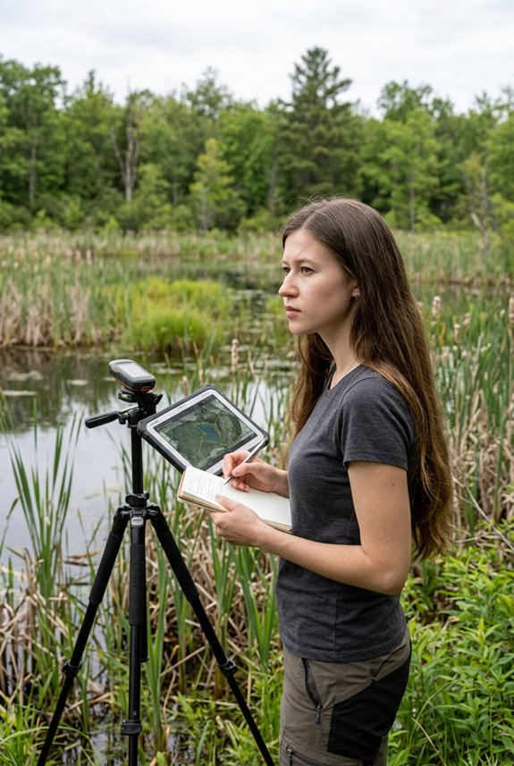
You’ve considered whether this work matches who you are, now you’ll see what it actually asks of you, hour by hour. Your morning begins with ArcGIS or QGIS, where you’ll run habitat suitability models, computer simulations predicting where species can thrive, using Python or R to automate repetitive tasks.
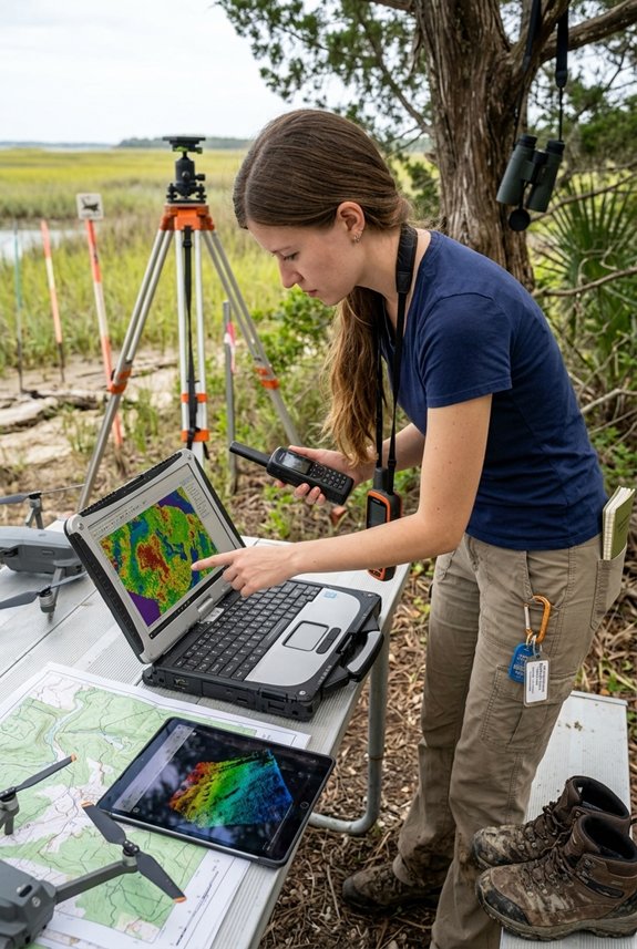
Seasonal workflows shape your calendar: spring means field season, so you’ll check equipment maintenance on GPS units, drones, and tablets before heading out. In the field, you’ll collect ground-truth data, verifying satellite images against real conditions, while practicing field ethics: minimizing habitat disturbance, respecting private land, and documenting every observation with care.
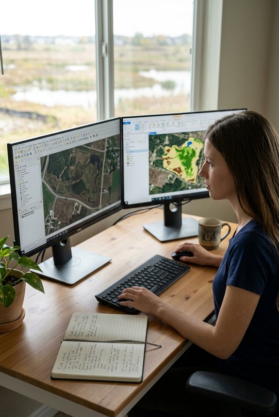
Back at your desk, you’ll clean telemetry datasets, build geodatabases, and craft maps that turn complex spatial patterns into clear stories for conservation decisions.
Education Pathways: Degrees, Courses, and Self-Taught Routes
Whether you’re mapping wetlands from a laptop in your apartment or tracking elk migrations through alpine meadows, your path into this work will depend on how you choose to learn, formal degrees, targeted courses, or the patient self-direction of building skills alone.
You will find that most employers expect at least a bachelor’s degree in ecology, environmental science, or geography, ideally with coursework in GIS, software systems that capture and display geographic data, remote sensing, which uses satellite imagery, and spatial statistics. You strengthen your standing considerably through field internships, where you gain hands-on practice collecting data in actual ecosystems rather than classrooms. These experiences teach you ethical data management: the careful, responsible handling of sensitive ecological information and the communities it represents.
A master’s degree opens doors to specialized roles in habitat modeling or conservation planning. Yet you need not follow traditional routes alone. Online platforms, community science projects (collaborative research with volunteer participants) and self-built portfolios of maps and analyses can demonstrate your capabilities when formal credentials are absent. Certifications matter less than evidence you can solve real problems.
How to Become an Ecology GIS Specialist: Step by Step
- Earn a relevant bachelor’s degree in ecology, environmental science, or geography with GIS coursework.
- Learn QGIS first, then ArcGIS Pro, and add Python or R for automation.
- Build remote sensing skills with Landsat or Sentinel imagery and Google Earth Engine.
- Create 6 to 10 portfolio projects with reproducible code on GitHub.
- Earn a certification such as Esri credentials, the GISP, or a Google Earth Engine course.
- Network and freelance through informational interviews and microtasks to land your first role.
Technical Skills That Get You Hired in Ecology GIS
Building geospatial competence means more than knowing where to click in a software menu: it requires you to weave together tools that capture, analyze, and communicate the stories hidden in landscape data.
You’ll need proficiency in ArcGIS and QGIS, building geodatabases, running buffer and overlay analyses, and crafting maps that meet publication standards. Python and R skills drive spatial automation, letting you script repetitive tasks and build reproducible workflows through packages like ArcPy or the tidyverse. Remote sensing expertise with satellite imagery, LiDAR, and platforms like Google Earth Engine opens doors to habitat mapping and change detection.
Database optimization keeps your projects efficient: you’ll clean data, execute spatial SQL queries, and maintain metadata standards. Finally, understanding visualization principles guarantees your findings resonate, transforming complex ecological patterns into clear, compelling narratives that decision-makers can act upon.
Which GIS Software Should You Learn First?
You start with QGIS, the open-source platform that asks nothing of your wallet while teaching you everything that matters, layers, projections, spatial joins, the grammar of maps.
Its QGIS extensions, small add-on tools built by a global community, let you stretch the software to fit your ecological questions. You’ll absorb open source ethics here too: the belief that knowledge shared grows stronger, that your methods should belong to no corporation.
This foundation in workflow reproducibility, making your analysis repeatable by others, step by traceable step, becomes your professional conscience. When you’re ready, ArcGIS Pro waits: the industry standard in government and consulting, powerful but proprietary. You’ve earned the choice.
Python or R: How to Choose Your Programming Path
Choosing between Python and R starts with asking what kind of ecologist you want to become.
Python dominates production GIS workflows, built into ArcGIS Pro and QGIS through PyQGIS, so you’ll use it for automation, web APIs, and dashboards that transform raw data into living maps.
R, with packages like sf and INLA, cradles statistical modeling and species distribution work, the kind of analysis that fills peer-reviewed pages.
Hiring trends favor Python in industry and government roles, while academia often breathes R. Yet tool interoperability (sharing GeoJSON between languages, running Python scripts inside R via reticulate) means you needn’t trap yourself.
Career flexibility blooms when you learn both, letting you follow the question, not the constraint.
| Aspect | Python | R |
|---|---|---|
| Strength | Automation and production workflows | Statistical modelling |
| Built into | ArcGIS Pro, QGIS (PyQGIS) | sf, INLA packages |
| Best for | Web APIs, dashboards, scripting | Species distribution, peer-reviewed analysis |
| Common in | Industry and government | Academia and research |
Do Ecology GIS Specialists Need Remote Sensing Skills?
Sifting through a typical day’s tasks, you’ll find that ecological GIS work rarely stops at drawing maps of where species live; it asks you to peer backward and forward in time, watching forests shrink, wetlands dry, or grasslands creep upward in elevation, and this is where remote sensing becomes something you can’t reasonably set aside.
Most employers now expect you to handle Landsat or Sentinel imagery, using cloud processing tools like Google Earth Engine to analyze decades of data without downloading terabytes. You’ll wrestle with satellite ethics, questions of privacy and data ownership when tracking landscapes, and navigate drone permitting for high-resolution surveys.
Your portfolio grows stronger with Python-driven classification, NDVI trends, and LiDAR canopy mapping: skills that transform you from someone who draws boundaries into someone who witnesses change.
Certifications That Boost Your Ecology GIS Hiring Potential
Although your degree might’ve opened the door, certifications are what keep you in the room when hiring managers sift through stacks of applicants who all know their way around a shapefile, a digital map format that stores location data like points, lines, and polygons.
You’ll want to map out your certification pathways carefully, weighing Esri credentials or the GISP against targeted options like Python for GIS or Google Earth Engine courses that sharpen habitat mapping skills.
Keep in mind that employer expectations differ: government agencies and consultancies often demand formal proof, while NGOs look for evidence you can actually deliver.
This is where portfolio integration becomes essential, pair your certificates with reproducible code, ecological mapping samples, and documented workflows. You’re building trust, after all, showing not just that you studied but that you can apply what you learned to real conservation challenges.
Soft Skills That Advance Ecology GIS Careers
When you sit down to explain a watershed analysis to a room full of biologists who’ve never opened a GIS interface, you quickly realize that knowing which button to click matters far less than whether people trust what you’re showing them, because technical mastery, impressive as it is, only travels as far as your ability to carry it across.
Your stakeholder communication skills turn complex spatial patterns into clear stories that managers and policymakers can act upon. Ethical engagement guides you when co-designing protocols with Indigenous communities, ensuring data serves those it represents. Adaptive leadership emerges as you coordinate field campaigns across disciplines, adjusting workflows when telemetry data proves messy or habitat models demand new scales.
These quiet strengths, attention to detail, collaborative patience, and the humility to listen, shape careers more surely than any certification alone.
Where Ecology GIS Specialists Work: Sectors and Employers
Because your skills bridge raw data and living landscapes, you’ll find employers across a surprisingly wide terrain, each sector asking you to translate spatial patterns into decisions that shape how ecosystems fare.
Government wildlife, fisheries, and environmental ministries need you for species management and habitat protection, often building community partnerships with local stewards.
Non-profit conservation groups, land trusts, wildlife charities, hire you to map endangered species distributions and run habitat suitability models, sometimes through international collaborations across borders.
Environmental consulting firms bring you onto impact assessments and mitigation planning for infrastructure projects.
Universities and research centers employ you to analyze satellite-tracking data and publish findings.
In the public private sphere, agriculture, energy, and utilities companies recruit you for compliance and land-use planning, especially in California, Texas, and Colorado, where salaries trend higher.
How to Build Your Ecology GIS Portfolio

Gather your maps, code, and field notes into something that speaks for you, a portfolio that turns scattered projects into a coherent story of how you think, analyze, and solve ecological problems.
Select six to ten polished pieces: perhaps a habitat suitability model, a connectivity analysis linking fragmented forests, or species mapping that tracks endangered populations across changing landscapes.
For each, write one paragraph explaining your objective, your data sources, satellite imagery, GPS tracks from radio-collared animals, or community science observations contributed by volunteers, and the specific tools you used, such as MaxEnt for predicting distributions or R for statistical modeling.
Showcase reproducible code through GitHub links, and design print-ready maps with careful attention to color palettes and scale.
Portfolio storytelling matters: connect your technical choices to ecological outcomes, like informing protected corridor placement.
Include a concise CV page with certifications, field experience, and measurable impacts, quantifiable results that demonstrate your value to future collaborators.
How to Land Your First Ecology GIS Job
Your portfolio now holds the evidence of what you can do, and that quiet confidence will carry you forward into the work itself, though the path from finished projects to paid position asks something more of you.
You’ll need to learn network etiquette: reaching out with genuine curiosity, not requests, to conservation professionals who’ve walked this trail before you. Schedule informational interviews, quiet conversations where you ask how they started, what they’d do differently, where the unposted openings hide. These aren’t job interviews; they’re maps to the territory.
While you search, take freelance microtasks, small gigs cleaning GPS tracks or building simple habitat maps, that build your client history and keep your skills sharp. Each connection, each completed task, weaves you into the community where your first salaried role waits.
How to Advance From GIS Analyst to Conservation Leader
Once you’ve found your footing as a GIS Analyst, translating satellite imagery into maps that decisions can rest upon, cleaning data until patterns emerge, you’ll sense a different pull, one that asks you to shape not just pixels but possibilities.
You’ll deepen your technical craft, mastering spatial modeling, remote sensing, and Python automation, while seeking mentorship pathways that connect you to seasoned conservation leaders who can guide your growth.
You’ll find yourself in rooms where stakeholder negotiation shapes whether protected areas expand or shrink, and you’ll learn that your maps must carry stories: impact storytelling that transforms complex analyses into compelling narratives policymakers and communities can act upon.
Build your portfolio with measurable outcomes, pursue advanced credentials, and expand your network through conferences and collaborations, each step moves you from analyst to leader, from serving data to stewarding change.
Frequently Asked Questions
What does an ecology GIS specialist do?
An ecology GIS specialist integrates satellite, GPS, and field data to map habitats, run species distribution and habitat suitability models, and produce maps that guide conservation decisions.
What qualifications do you need?
Most roles expect a bachelor’s degree in ecology, environmental science, or geography with GIS coursework. A master’s helps for specialized habitat-modelling roles, but a strong portfolio with reproducible code can open doors without one.
How much do ecology GIS specialists earn?
Entry-level pay runs about $45,000 to $55,000, rising to $80,000 or more for senior roles. The BLS reports a median of $76,210 for the closest category, cartographers and photogrammetrists, with about 5% growth projected through 2032.
Should I learn Python or R?
Python dominates production GIS and automation (it is built into ArcGIS Pro and QGIS), while R excels at statistical and species distribution modelling common in academia. Learning both gives you the most flexibility.
Which GIS software should I learn first?
Start with QGIS, which is free and teaches core concepts, then add ArcGIS Pro, the industry standard in government and consulting.

Erzsebet Frey (Eli Frey) is an ecologist and online entrepreneur with a Master of Science in Ecology from the University of Belgrade. Originally from Serbia, she has lived in Sri Lanka since 2017. Eli has worked internationally in countries like Oman, Brazil, Germany, and Sri Lanka. In 2018, she expanded into SEO and blogging, completing courses from UC Davis and Edinburgh. Eli has founded multiple websites focused on biology, ecology, environmental science, sustainable and simple living, and outdoor activities. She enjoys creating nature and simple living videos on YouTube and participates in speleology, diving, and hiking.
For your next application
Keep applying and hearing nothing back?
The Biology Job Application Kit shows you which stage of your applications is failing and how to fix it. 46 guides, 22 editable templates, an application tracker and an ATS CV Creator licence.
See the Job Application Kit