
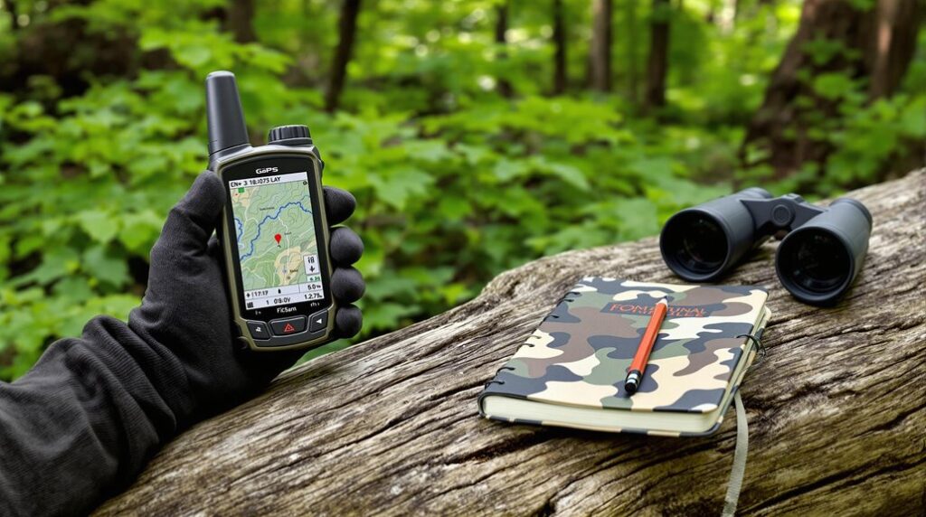
GPS technology has revolutionized wildlife tracking, enabling remote and continuous monitoring. You’ll need a GPS receiver, data logger, and communication module to get started. Select lightweight, durable devices based on your species and research goals. Guarantee proper sampling coverage and adhere to ethical guidelines during animal capture and handling. Combine GPS with other tools like camera traps and drones for enhanced tracking. As you commence on this journey, you’ll uncover fascinating insights into animal behavior and conservation.
Overview of GPS technology in wildlife tracking
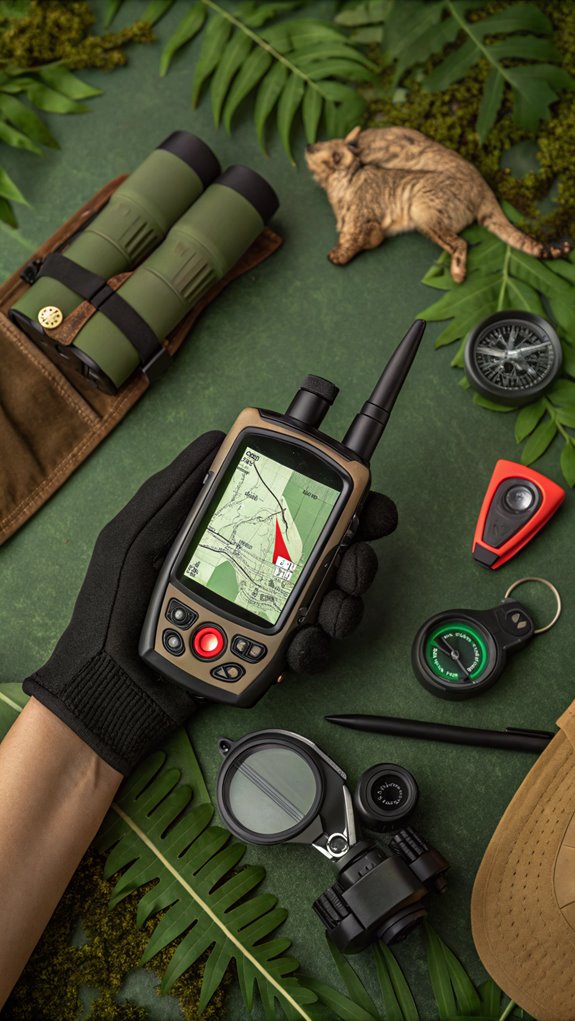
GPS technology has revolutionized wildlife tracking, offering researchers unprecedented insights into animal behavior and ecology.
It’s a game-changer, allowing you to monitor animals remotely and continuously. GPS receivers calculate location using satellite signals, while embedded data loggers record positional coordinates at pre-set intervals.
Communication modules, like Argos satellite links or GSM networks, transmit the data. Power sources range from lithium batteries to solar panels, depending on deployment duration.
Environmental sensors and programmable timers enable adaptive data collection. With GPS, you can map migratory routes, identify poaching hotspots, and understand social structures. Release timers can be programmed to automatically drop off the tracking devices at a specified time.
Integration with satellite imagery contextualizes habitat use patterns. GPS collars are designed to minimize stress on animals, with adjustable fittings and automatic release mechanisms.
Whether you’re tracking wolves or wildebeest, GPS technology provides a wealth of data for conservation and research. It’s a powerful tool that’s transforming our understanding of the natural world.
Importance of GPS for conservation and research
By revolutionizing wildlife tracking, GPS technology has become an indispensable tool for conservation and research.
It’s enabled preemptive habitat protection, reduced poaching by up to 50%, and increased survival rates for vulnerable species. You can now map migratory routes spanning thousands of kilometers and pinpoint critical stopover sites.
GPS has optimized patrol efforts, focusing 40% more ranger time in high-risk zones. It’s cut emergency response delays in half during poaching incidents. Analyzing animal movements helps mitigate human-wildlife conflicts too. Portable trackers designed for various species have greatly expanded the range of animals that can be monitored.
GPS: Optimizing patrols, halving emergency response times, and mitigating human-wildlife conflicts by analyzing animal movements.
Beyond conservation, GPS provides essential health insights. You can detect impending disease outbreaks, recognize stress patterns, and assess zoonotic risks by tracking behavioral changes and movement anomalies.
Ultimately, GPS empowers you to make data-driven decisions, allocate resources efficiently, and collaborate on a global scale to protect our planet’s biodiversity.
From saving individual animals to preserving entire ecosystems, GPS is a game-changer.
Early wildlife tracking methods before GPS
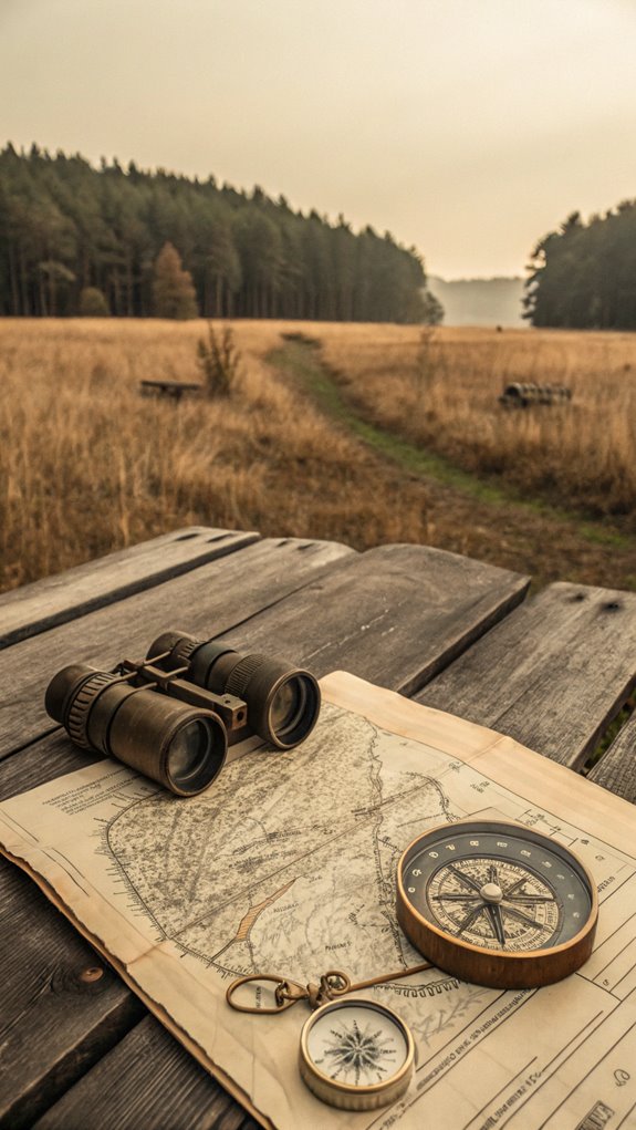
Before GPS revolutionized wildlife tracking, scientists relied on a variety of ingenious methods to study animal movements and behaviors.
In the early 1800s, John James Audubon attached silver threads to birds, while in the 1890s, Hans Christian C. Mortensen popularized leg bands. Physical markers like color-coded necklaces and scale clipping allowed for visual identification.
Radio telemetry emerged in the 1950s-60s, using VHF collars to track land animals, though range and terrain limited its effectiveness. Citizen science initiatives also began to involve the public in data collection and species identification.
Acoustic telemetry, an offshoot of sonar, enabled underwater tracking of marine life.
Radar and aerial surveys provided population counts and movement patterns, but lacked individual specificity.
These early techniques laid the groundwork for modern wildlife tracking, but were often constrained by technology, environment, and animal recapture rates.
Despite limitations, they provided valuable insights into animal life cycles, migration patterns, and habitat use that paved the way for GPS-based methods.
How GPS revolutionized wildlife research
Five key areas illustrate the transformative impact GPS had on wildlife research: applications, conservation effectiveness, methodology advancements, inclusivity in species studied, and technological innovations.
GPS applications revealed 200-km elephant migration corridors, tracked birds traveling 10,000 km, and enabled collective decision-making studies in primates.
Conservation saw a 25% poaching reduction and 40% more patrols allocated to high-risk zones. Motion sensors in some GPS receivers can detect injured or sick animals, aiding in wildlife protection efforts.
Methodologically, GPS achieved 90% data accuracy, obsoleted tag retrieval logistics, and increased tracking frequency.
Miniaturization and solar power expanded monitoring to 85% of mammals and 20-gram bird species.
Technologically, solar-powered collars extended lifespans to 40 months.
GPS revolutionized the field by automating data retrieval, reducing animal stress, illuminating hourly behaviors, and democratizing access for small-species studies.
It allowed simultaneous monitoring of 100+ wolves and insights into primate social hierarchies.
The shift from VHF to GPS marked a new era in wildlife research.
Common GPS Tools Used for Wildlife Tracking
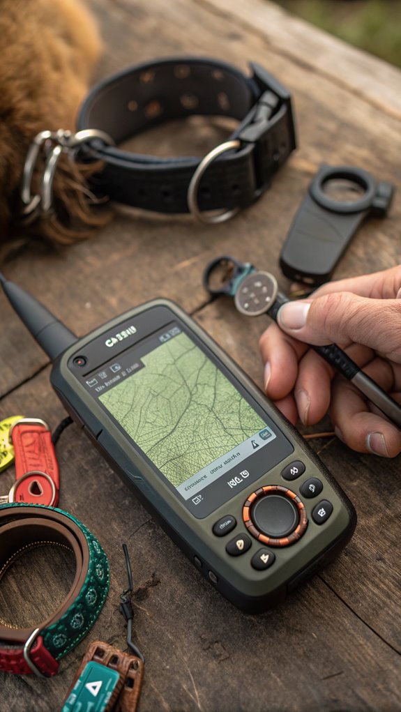
You’re probably familiar with handheld GPS devices, but did you know there are specialized GPS collars and tags for tracking wildlife? GPS collars can be fitted on larger animals like bears and wolves to track their locations.
These tools, along with satellite-based tracking systems, have become indispensable for researchers studying animal movements and behaviors in the wild.
Handheld GPS devices
When you’re tracking wildlife in remote habitats, handheld GPS devices are essential tools that provide accurate location data and navigation features.
Multi-satellite support from GPS, GLONASS, and Galileo guarantees 3m accuracy, while rugged builds withstand harsh conditions. Mapping and memory capabilities allow for detailed topographic maps and waypoint storage, enhancing navigation in the field.
Devices like Garmin’s InReach Mini 2 offer emergency SOS functionality and long battery life.
Wrist-mounted tactical units enable hands-free use, while touchscreen variants suit vehicle-based deployments.
These handhelds excel in applications like habitat monitoring, species triangulation, and real-time geofencing.
Solar charging and low-power modes extend field use, but dense forests and urban canyons can limit accuracy.
Despite limitations, conservationists report significant reductions in poaching when using handheld GPS for surveillance.
Beyond handheld units, GPS collars and tags are the workhorses of wildlife tracking. They’re available in various sizes, from nano collars for 5-20g animals to medium models weighing 130-250g. Nano GPS was introduced in 2018 and is the lightest device starting at 5 grams.
Iridium satellite collars provide global coverage, while hybrid designs combine long-range data transfer with drone download capabilities. Self-powered trackers use animal movement for energy.
You’ll find GPS collars and tags used in diverse applications, such as monitoring feral cats traveling up to 125 km, tracking fox movements during rehabilitation, and studying shark migration patterns.
They’ve enabled round-the-clock tracking of species like pandas and sea lions in shaded habitats. Key satellite platforms include Iridium, Globalstar, and ARGOS, with hybrid ARGOS-GPS tags supporting long deployments with high-precision location data.
Satellite-based tracking systems
Satellite-based tracking systems are the powerhouses behind modern wildlife monitoring. You can use ARGOS or GPS technologies, each with unique strengths.
ARGOS relies on Doppler shifts via polar-orbiting satellites, ideal for high-latitude species but with lower resolution. GPS offers 10m accuracy and altitude/velocity data but requires more satellites.
Tags transmit data in real-time or store it for later retrieval. Customizable duty cycles balance data richness and battery life. Archival tags are also emerging as lighter options for wildlife tracking.
These systems map migrations, guide conservation plans, track climate impacts, and monitor populations. However, equatorial coverage gaps and high costs per data point are limitations to take into account.
Integrating GPS data with satellite imagery further enhances ecological insights.
Setting Up GPS for Wildlife Tracking
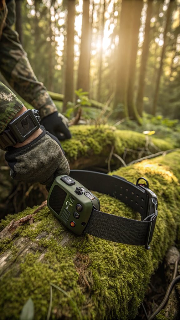
To set up GPS for wildlife tracking, you’ll need to select an appropriate device based on the species, habitat, and research goals. Sampling coverage involves the number and allocation of devices among individuals, influenced by financial and practical constraints.
Confirm the GPS unit is lightweight, durable, and programmed with a suitable duty cycle to balance data resolution and battery life.
Before deploying the tags, carefully capture and handle the animals following ethical guidelines to minimize stress during the attachment process.
Choosing the right GPS device
Selecting the right GPS device for your wildlife tracking project is essential for success. Look for lightweight receivers (<0.5 oz) with small form factors to minimize impact on animal movement. Low-power CNSS devices with energy-efficient modes extend battery life, but require offline data logging. Familiarization with setup options enhances usability during trips, and testing the GPS in familiar locations can improve confidence in its operation.
Choose multi-system receivers (GPS/GLONASS/Galileo/BeiDou) for accuracy <1-3 meters, and consider signal penetration through dense canopies. Guarantee durability with IP67–IP69K ratings, polycarbonate housings, and field-replaceable designs.
Factor in costs, ranging from <$100 for basic loggers to >$1,000 for satellite-linked collars, and data management options like cloud-based platforms and subscription models. Assess your specific research goals and target species to determine the most suitable device for your project.
Preparing wildlife for GPS tagging
Once you’ve selected the ideal GPS device for your wildlife tracking project, it’s time to prepare the animals for tagging.
Confirm you have trained personnel, including veterinarians, to minimize stress during capture and handling. Use species-specific immobilization or brief restraint methods that balance safety and data accuracy. Collaborative efforts among scientists can help develop tailored attachment methods for specific species, such as condors, cranes, and burrowing owls.
Schedule tag deployments to synchronize with the animals’ natural behavior patterns, such as migratory rest or breeding periods, to reduce interference.
Conduct pre-tagging health checks and post-tagging monitoring to confirm the device weight complies with the <3% body mass guideline.
Plan for unobtrusive tag recovery in inaccessible habitats. Choose lightweight, durable materials for device enclosures, and consider attachment methods like adjustable collars for terrestrial species or epoxide adhesives for marine animals.
Examples of How GPS Helps in Wildlife Research
GPS technology has revolutionized the way researchers study wildlife, providing unprecedented insights into animal behavior and ecology.
You’ve seen how black bears, caribou, and wildebeest migrations are mapped to identify critical corridors and habitat fragmentation. GPS also helps monitor small-scale habitat use by moose and quail to inform conservation zones.
It’s been used to link elephant poaching to water sources and study predator-prey dynamics of mountain lions and kangaroos in fragmented landscapes.
GPS data combined with satellite imagery assesses wetland bird habitat degradation.
Real-time tracking aids anti-poaching efforts, while GPS collars detect human-wildlife conflict hotspots.
Land-use planning relies on GPS to map corridors and exclude development from critical habitats.
Even endangered species like Hopi rattlesnakes benefit from GPS tracking to measure population responses to stressors.
Precise recovery of study sites is facilitated by GPS, allowing researchers to revisit locations and monitor changes over time.
As you can see, GPS is an indispensable tool for advancing wildlife research and conservation in numerous ways.
Step-by-Step Guide to Using GPS for Wildlife Tracking
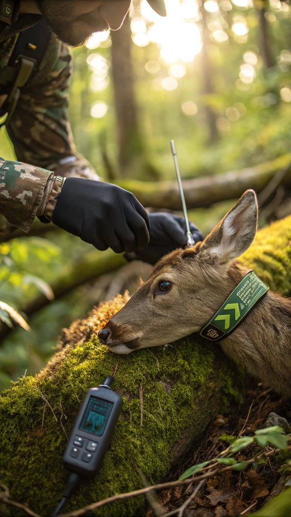
You’ll first prepare the GPS device, ensuring it’s properly configured and has sufficient battery life. It’s important to use a wildlife connectivity map to identify key habitats and movement corridors to optimize tracker placement.
Next, you’ll securely attach the tracker to the animal, using a species-appropriate method like a collar, harness, or tag.
Finally, you’ll set up the tracking parameters, such as sampling frequency and data transmission, and begin monitoring the data, analyzing movement patterns, and interpreting the results.
Preparing the GPS device
Before heading into the field, you’ll need to prepare your GPS tracking device.
Verify the battery’s charge level and replace it if it’s below 70% capacity. Acquire a satellite lock-in to initialize the GPS receiver.
Configure the software parameters, such as location sampling intervals and alert thresholds. Customize tracking intervals to optimize battery life. Simulate deployment conditions to guarantee the device’s durability and sensor responsiveness.
Enable the backup mode to switch to Argos satellite uplink if GSM connectivity fails. Set the device to store location data during offline periods, using a hybrid transmission approach.
Program VHF/UHF activation for automatic data upload when the collar detaches post-study. Adjust the duty cycle to extend the device’s service time while maintaining a ~12-month deployment.
Attaching the GPS tracker
Once you’ve prepared your GPS tracking device, it’s time to attach it to your animal subject. There are several methods to choose from depending on the species.
Glue-based adhesion works well for short-term deployments of 30 days or less, fixing tags securely to fur or hide.
For hands-off attachment, consider devices embedded in burrs or plant material that latch onto animals upon contact.
Spring-loaded self-attaching collars are another option to reduce human intervention. Geofencing features can alert researchers when animals enter or leave designated areas.
If you’re tracking aquatic wildlife, suction cups provide a non-invasive alternative.
Whichever method you select, use non-toxic, waterproof adhesives for long-term wear without skin irritation.
Proper attachment guarantees you’ll gather the location data you need while keeping your animal subjects safe and comfortable.
Setting up tracking parameters
To set up your tracking parameters effectively, you’ll need to make several key decisions based on your research goals and the species you’re studying.
First, choose between store-on-board, remote download, or hybrid options, considering cost and recapture feasibility.
Next, define the location fix rate and data volume, balancing accuracy and battery life.
Use burst modes for critical events, but calibrate for battery impact.
Make habitat-specific adjustments like waterproofing and accounting for canopy closure or dark conditions.
Set the data format and range, considering reception methods and redundancy.
Finally, confirm power management aligns with animal behavior, device weight is appropriate, and ethical protocols are in place, such as pre-programmed release dates to minimize stress.
Monitoring data and interpreting results
After you’ve set up your tracking parameters, it’s time to start monitoring the incoming GPS data and interpreting the results. Watch for data collection issues like high GPS error margins in dense forests or urban areas, varying battery life, and sensor malfunctions that can inflate location errors. Movebank is a helpful platform for managing and sharing animal tracking data from GPS and other technologies.
Use path-based analysis and Bayesian hierarchical models to handle autocorrelation in the movement data. Identify social interactions by detecting sequential co-locations, sudden velocity changes, and repeated spatial proximity.
Estimate home ranges using kernel density methods and ≥500 GPS fixes per animal. Validate your data with base station corrections, DOP calculations, and field team ground-truthing to minimize errors.
Common Challenges and How to Overcome Them
While GPS wildlife tracking has revolutionized our understanding of animal behavior and ecology, it’s not without its challenges. Incomplete sampling and data limitations can misrepresent populations, failing to capture critical habitats. You can integrate roadkill counts and expert knowledge for localized insights. Project ICARUS aims to address these limitations by revolutionizing animal tracking via the Internet of Animals.
Technological constraints like battery life and device size also limit data resolution and trackable species. Optimize sampling rates and explore dual-mode tracking to mitigate these issues.
Technological limitations constrain GPS tracking, but optimizing sampling rates and using dual-mode systems can help overcome issues with battery life and device size.
Animal welfare is another concern, as tracker attachment stresses wildlife. Opt for non-invasive tags and accelerometer monitoring to minimize impact.
Cost and accessibility barriers persist, with expensive infrastructure and roaming fees. Leverage open-access platforms and crowdsourcing to reduce expenses.
Finally, managing the data deluge poses storage and affordability challenges. Turn to cloud-based analytics for real-time filtering.
Best Practices for Effective Wildlife Tracking
To maximize the effectiveness of your wildlife tracking endeavors, consider the key best practices outlined below.
You’ll want to factor in habitat-specific considerations, select appropriate devices based on weight constraints, and calibrate data frequency and integrity protocols. Familiarize yourself with local ecosystems, as different species thrive in specific environments.
Additionally, prioritize battery management and longevity, and adhere to ethical and operational guidelines.
Four key considerations drive effective wildlife tracking: choosing the right technology, guaranteeing animal suitability, optimizing data collection, and prioritizing animal welfare.
When selecting a tracking system, consider the species’ habitat and size. GPS offers high accuracy but requires a clear sky view, while Argos works well in obstacle-prone environments. Geotime, a notable product by Oculus, can be utilized for analyzing movement data collected from tracking devices.
Confirm the tag weighs ≤3% of the animal’s body mass to minimize behavioral impacts. Optimize your sampling rate based on the species’ activity patterns and use drop-off devices for long-term studies.
Prioritize animal welfare by using species-appropriate attachment methods and duty cycling protocols. Conduct habitat assessments to determine the best technology for your study area and consider the costs associated with each system.
Best times for data collection
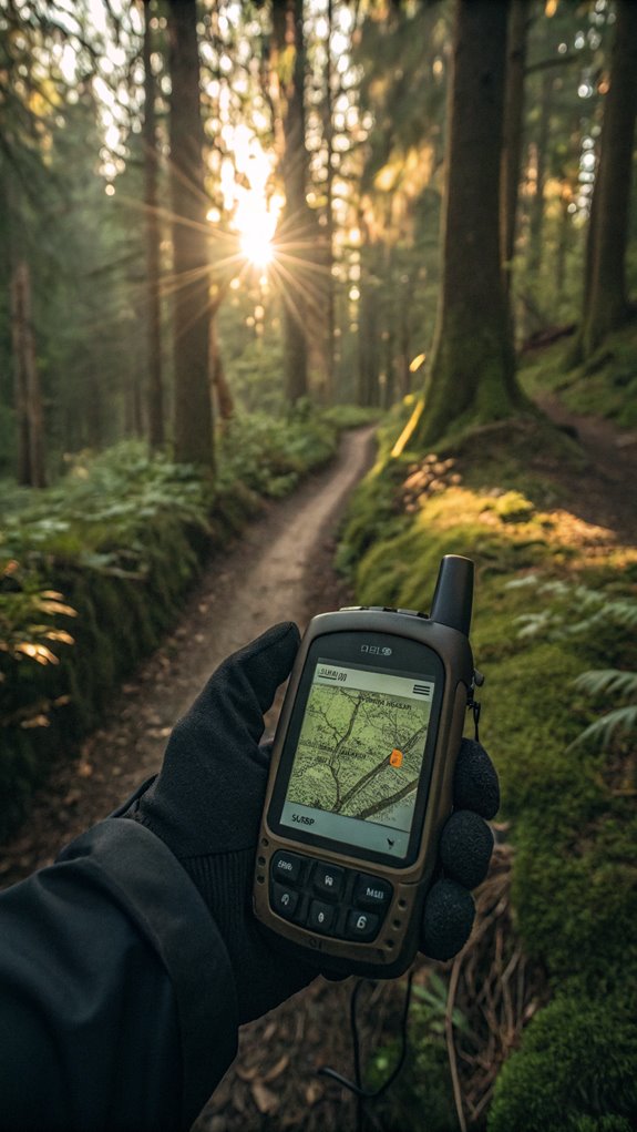
You can enhance your wildlife tracking by combining GPS data with other research methods.
For example, pair GPS locations with camera trap images to validate an animal’s presence or use drones to survey inaccessible habitats. Tracking pregnant females during the breeding season can help identify den trees for young offspring.
However, always prioritize ethical tracking practices and respect the privacy of the animals you study.
Combining GPS data with other research methods
Combining GPS data with other research methods helps wildlife researchers gain a more complete understanding of animal behavior and ecology.
You can pair GPS tracking with remote sensing techniques like satellite imagery to map habitat use. Direct field observations provide behavioral context for movement patterns revealed by GPS. Analyzing GPS data alongside environmental variables such as vegetation, elevation, and weather can uncover factors driving animal space use.
By collecting biological samples during GPS collar deployments, you can examine wildlife health, genetics, and diet in relation to movement.
Camera traps placed at GPS clusters identify kill sites, den locations, and social interactions. Integrating GPS telemetry with a diverse toolbox of methods creates a powerful, multifaceted approach for studying wildlife.
Ethical tracking and privacy concerns
GPS wildlife tracking has revolutionized our understanding of animal ecology, but it’s not without ethical pitfalls that require careful maneuvering. Over 1,100 animals in Montana are currently monitored using GPS technology, providing valuable data but also raising concerns.
You must consider risks like data misuse enabling unethical hunting, disrupting animals during critical life stages, and fueling landowner-researcher conflicts. Biased small samples and high-frequency data collection also pose trade-offs in study design.
To ethically leverage this powerful tool, you’ll need robust data access policies balancing transparency and privacy. Explore anonymization techniques, middle-tier obscuring of sensitive locations, and periodic moratoriums to prevent cumulative impacts.
By proactively addressing these concerns through policy and tech safeguards, you can harness GPS tracking’s insights while upholding animal welfare and research integrity.
Maneuvering this complex landscape is key to wildlife conservation.
GPS in combination with camera traps and drones
Three powerful tools—GPS tags, camera traps, and drones—are revolutionizing wildlife tracking when used in concert.
Strategically time your data collection for best results. Tasmania’s 600-camera network peaks in dry months, logging 750k images per season to monitor invasive species. AI software trained to recognize 31 common species aids in data processing.
Pair GPS tags for annual migration insights with cameras for fine-scale habitat use. In Gabon, prioritize peak hunting hours like dawn and dusk for anti-poaching AI analysis.
GPS tags can log every 15 minutes, syncing with hourly camera triggers. Winter herd aggregations on GPS correlate with camera rehearsal sites.
Combine technologies and adapt to seasonal patterns for thorough tracking.
Recap of GPS’s significance in wildlife tracking
Wildlife tracking has been revolutionized by GPS technology, offering unprecedented insights into animal behavior, migration patterns, and habitat use.
You’ve seen how GPS collars and tags provide real-time, global data on animal movements and physiology, surpassing the limitations of traditional radio telemetry. Miniaturized, solar-powered devices now enable lifetime tracking of even small species.
GPS data collection has driven conservation successes, from reducing elephant and rhino poaching to improving sea turtle hatchling survival and protecting tiger habitat corridors. Early disease detection through unusual movement patterns strengthens overall wildlife management and health initiatives.
Researchers can now map species’ survival needs with granular detail, while automated satellite data transmission reduces fieldwork labor. Interactive GPS maps also engage the public in conservation efforts.
As GPS technology continues advancing, with space-based receivers and hybrid systems, its impact on wildlife research and protection will only grow.
References
- https://en.wikipedia.org/wiki/GPS_animal_tracking
- https://www.youtube.com/watch?v=THGhNrfbK_M
- https://www.teletracnavman.com/gps-fleet-tracking-education/guide-to-wildlife-tracking
- https://dynamicearthlearning.com/gps-wildlife-tracking/
- https://www.satimagingcorp.com/applications/environmental-impact-studies/wildlife-and-marine-conservation/wildlife-monitoring/
- https://allafrica.com/stories/202502060089.html
- https://www.trackingfox.com/2024/02/02/gps-tracking-is-revolutionizing-wildlife-conservation/
- https://news.mongabay.com/2017/05/location-location-location-goes-high-tech-facts-and-faqs-about-satellite-based-wildlife-tracking/
- https://fwp.mt.gov/conservation/wildlife-management/wildlife-migration/tracking/limitations
- https://www.bustedcubicle.com/outside/animal-tracker-interview

Erzsebet Frey (Eli Frey) is an ecologist and online entrepreneur with a Master of Science in Ecology from the University of Belgrade. Originally from Serbia, she has lived in Sri Lanka since 2017. Eli has worked internationally in countries like Oman, Brazil, Germany, and Sri Lanka. In 2018, she expanded into SEO and blogging, completing courses from UC Davis and Edinburgh. Eli has founded multiple websites focused on biology, ecology, environmental science, sustainable and simple living, and outdoor activities. She enjoys creating nature and simple living videos on YouTube and participates in speleology, diving, and hiking.
🌿 Explore the Wild Side!
Discover eBooks, guides, templates and stylish wildlife-themed T-shirts, notebooks, scrunchies, bandanas, and tote bags. Perfect for nature lovers and wildlife enthusiasts!
Visit My Shop →